
At a glance
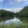
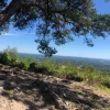
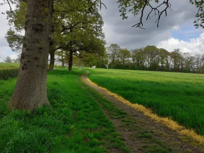
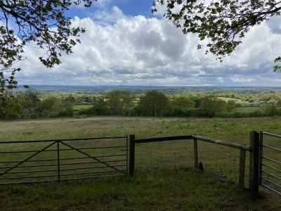
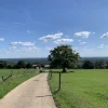
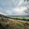
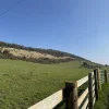
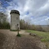
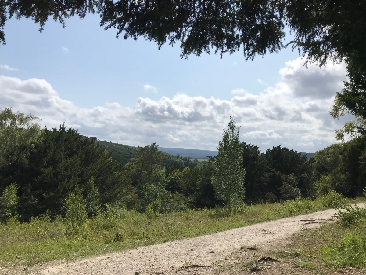
A relatively short but challenging walk that starts near Cockshot Cottage and loops round to Mickleham and back. Offering a great mix of woodland scenery and quaint village features, this is a great route that rewards your efforts on the hills.
| Difficulty | Tough |
| Length | 5.6 km / 3.5 miles |
| Time taken | 1 hour 45 mins |
| Elevation | Couple of steep hills |
| Dog Friendly? | Yes, but keep a lead handy as some paths are shared with horse riders and mountain bikers. |
Stay in the loop
Want to find more walks like this? Join the Surrey Walks mailing list to receive the latest routes!
Route map & free download
Download the route file below to import it to your preferred app (a step by step guide can be found here).
Easy Method – Use OS Maps:
I strongly recommend using OS Maps. It’s free to create an account and you get access to the most detailed maps you can find.
- Download the OS Maps app or create an account (desktop).
- Open the walk using the link below.
3. Bookmark the walk to easily find it when you’re heading off.
Getting started
This route starts and ends at Cockshot car park, which Google Maps seems to be completely unaware of. It’s a National Trust car park and big enough that you should get a space.
If you’re struggling to find it, use maps to get you to Warren Farm Barns. From here, it’s just a few minutes East on Lodgebottom Road, and the car park will be on your left.
Things to know
- There are a couple of steeper inclines on this route. They’re not too bad, but it may be slippery underfoot after rainfall which makes them a bit trickier.
- Dogs can be off the lead for a fair amount of the walk, although some paths may be shared by mountain bikers and horse riders, so be ready with a lead if needed.
- When you get to Mickleham, there are a couple of pubs you can stop off at, The Running Horses and The King William IV.
- In Mickleham, you will have a bit of road walking as you pass through the town.