

At a glance
A long and physically challenging hike that starts at Headley Heath and includes Box Hill, Juniper Top and Mickleham Downs. With some of the best views in Surrey (made even better by the snow), this is a route not to be missed.
Jump to:
- Route map & overview
- The beginning
- The summit
- The final stretch
- Travel information
- Share & subscribe
- Review & final scores
Route map & overview
Download the route file below to import it to your preferred app (a step by step guide can be found here).
| Difficulty | Very Hard |
| Length | 11.9km / 7.4 miles |
| Time taken | 2 hours 47 minutes |
| Steps | 16,439 |
| Elevation | Very steep climbs in the second half |
| Dog Friendly? | Yes |
The walk
As with a number of walks on this site, the idea came about from noticing a gap in the available All Trails routes. I wanted to link some great areas together, but I couldn’t find an existing route that managed it. So I made my own.
It’s worth noting that I happened to plan this route for the snowiest day in recent memory. It wasn’t deliberate, and it probably was a bit silly to brave the icy roads in my small car, but it was undoubtedly worth it.
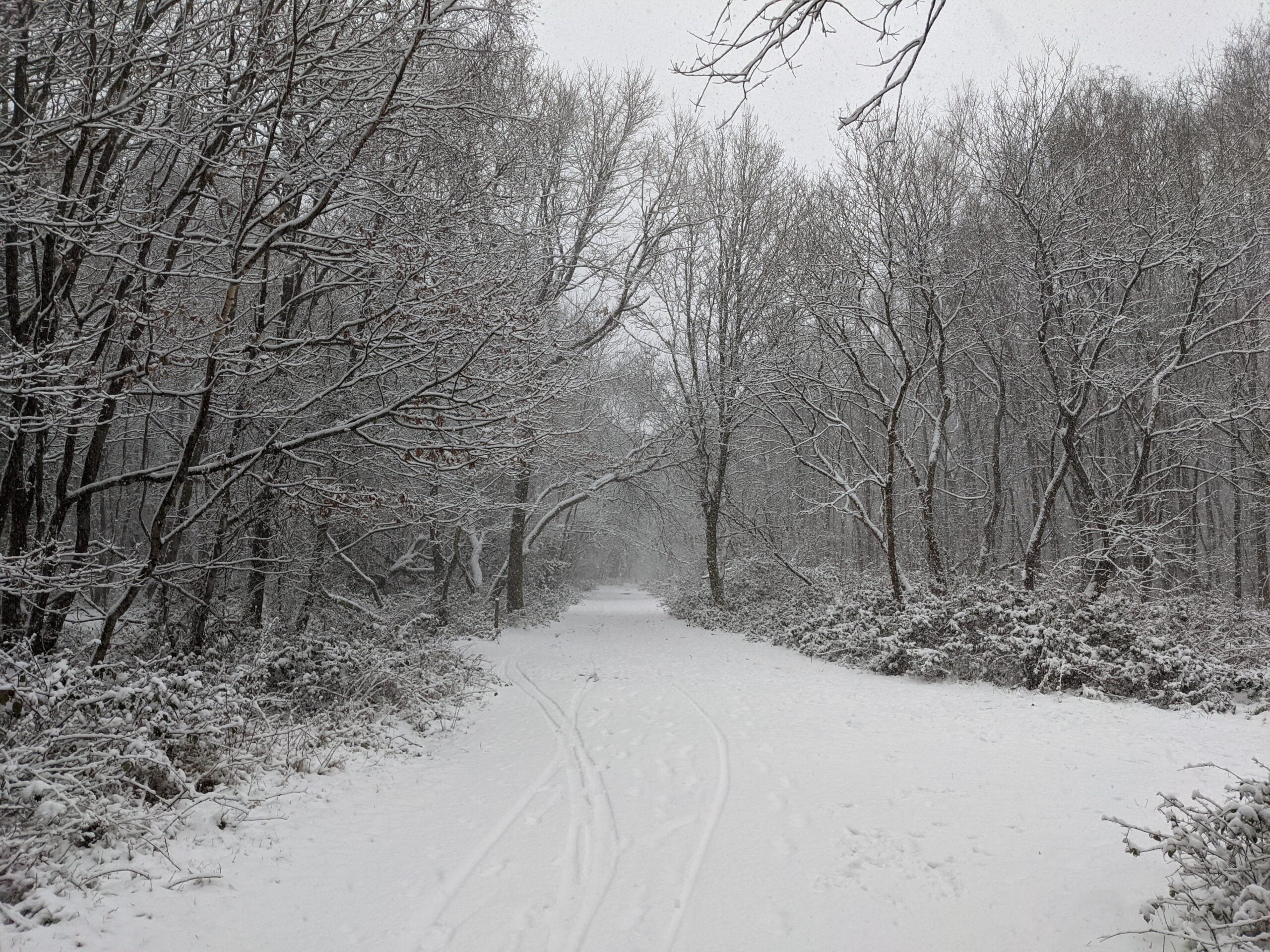
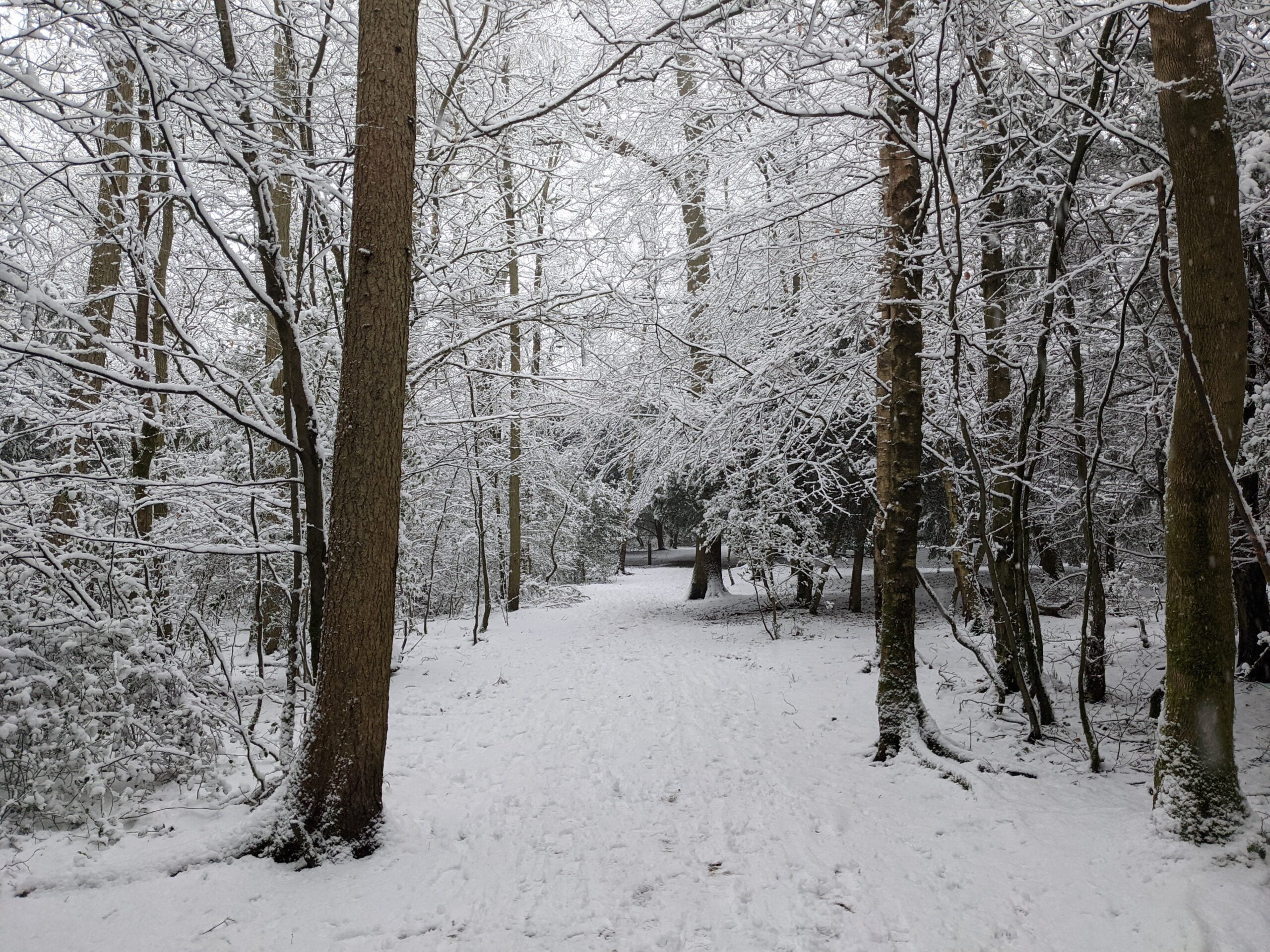
The walk starts at Headley Heath, which is certainly beautiful enough in its own right to warrant exploration. Heading south out of the car park, you’re able to follow the National Trust ‘Box Hill Hike’ posts. While the snow and ice completely covered the ground, there were a few points that reminded me of the Winter mud I’m usually plagued by. Every now and then my foot would fall unpredictably through the surface level of snow, revealing the squelching terrain it successfully covered.
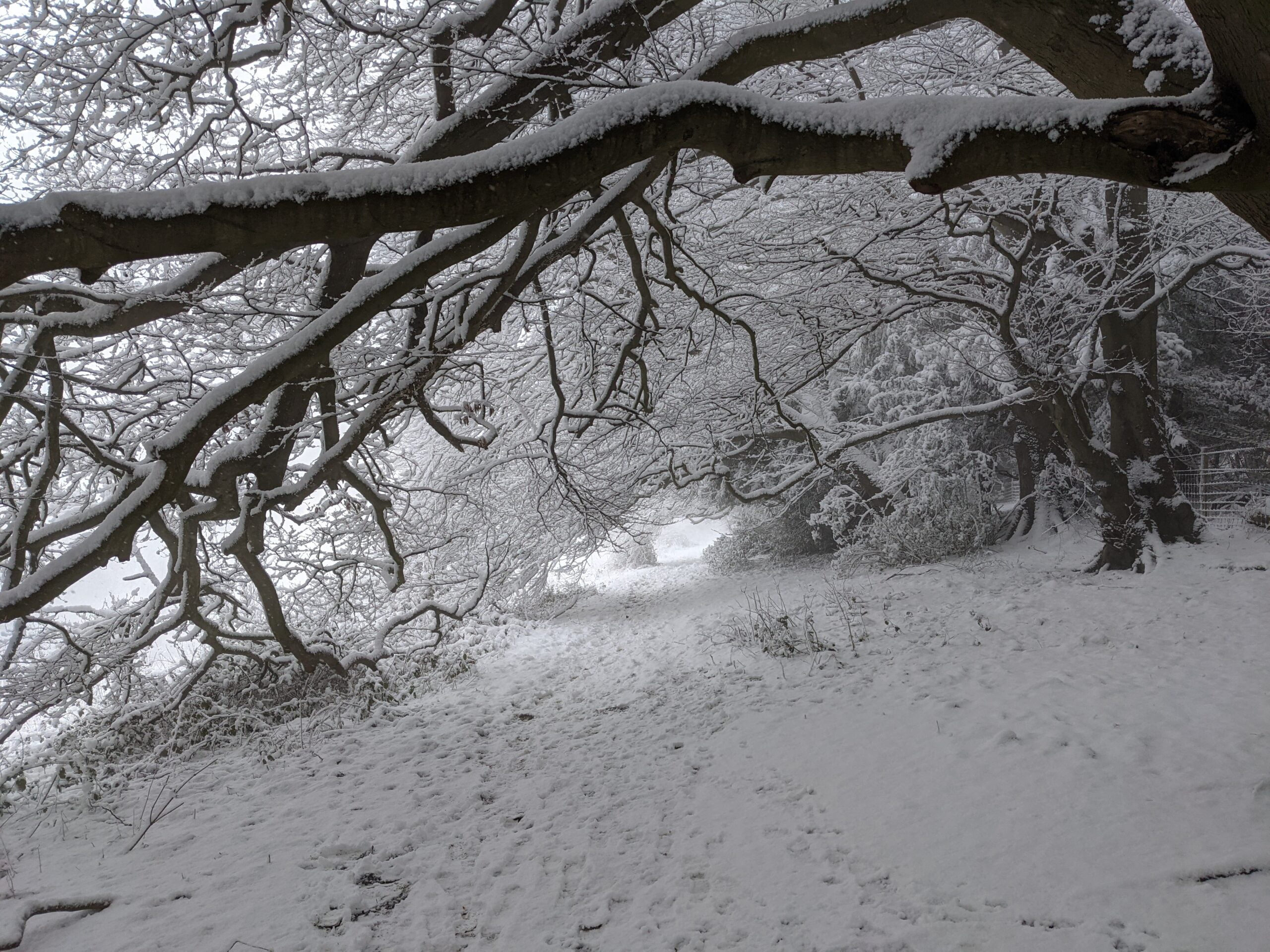
Generally though, the snow made most of the journey to Box Hill much simpler. With a good pair of boots, grip was easier to find than would normally be the case with mud.
Just west of Brockham Quarry, you deviate from the National Trust route. By forking right, you end up parallel with Zig Zag Road, and come out right at the top of Box Hill.
The high ground
From here the walk really steps up a level, both literally and metaphorically. The familiar far reaching viewpoint at the summit of Box Hill is replaced by an alpine paradise.
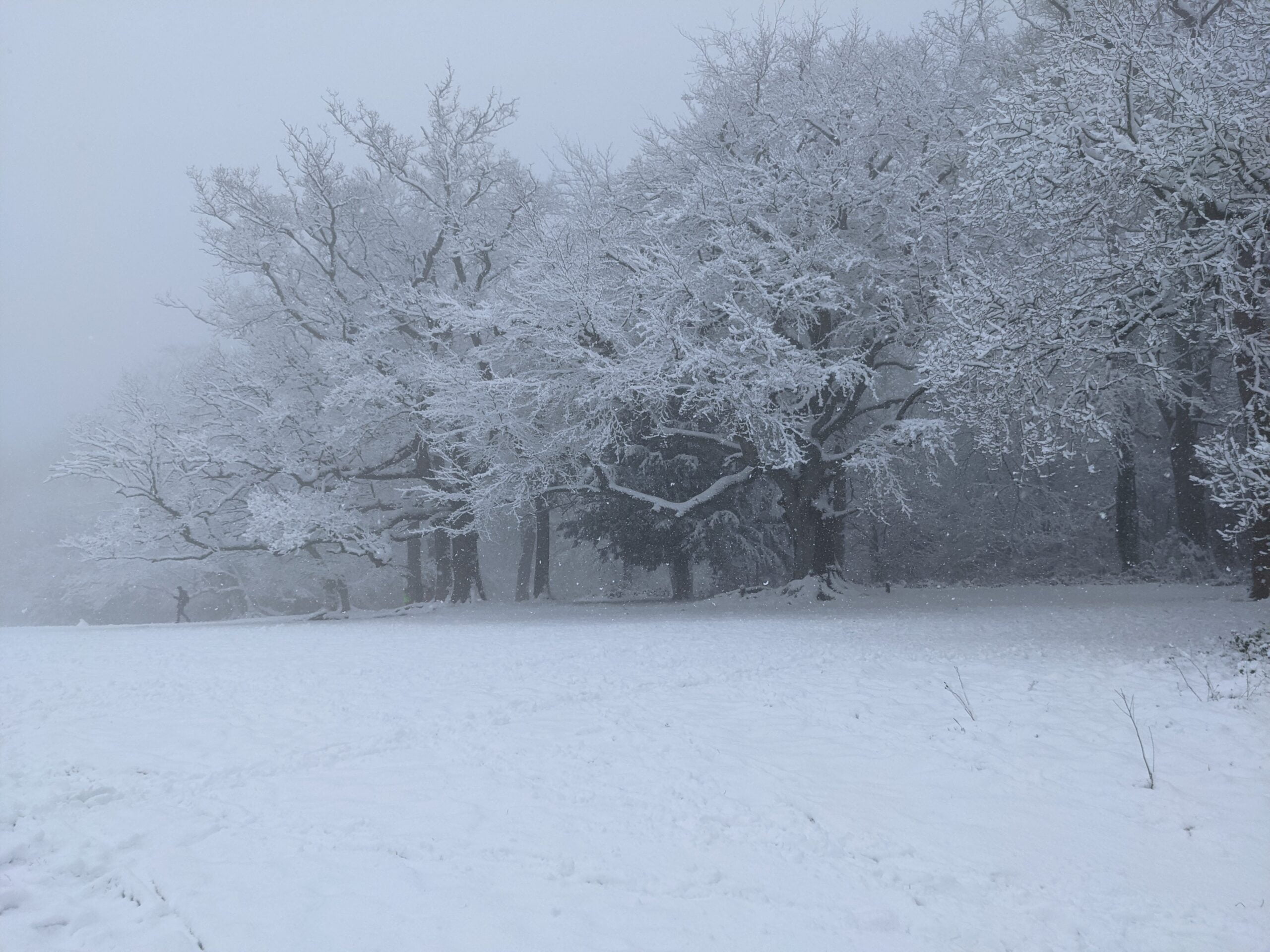
Once you’ve taken it in, you turn back on yourself slightly and head towards Juniper Top. I had never been before but it’s certainly on par with Box Hill in terms of beauty. As it turned out, it also appeared the be the most popular place for sledging. With a car park right at the bottom, the hill was full of opportunistic Winter sports enthusiasts.
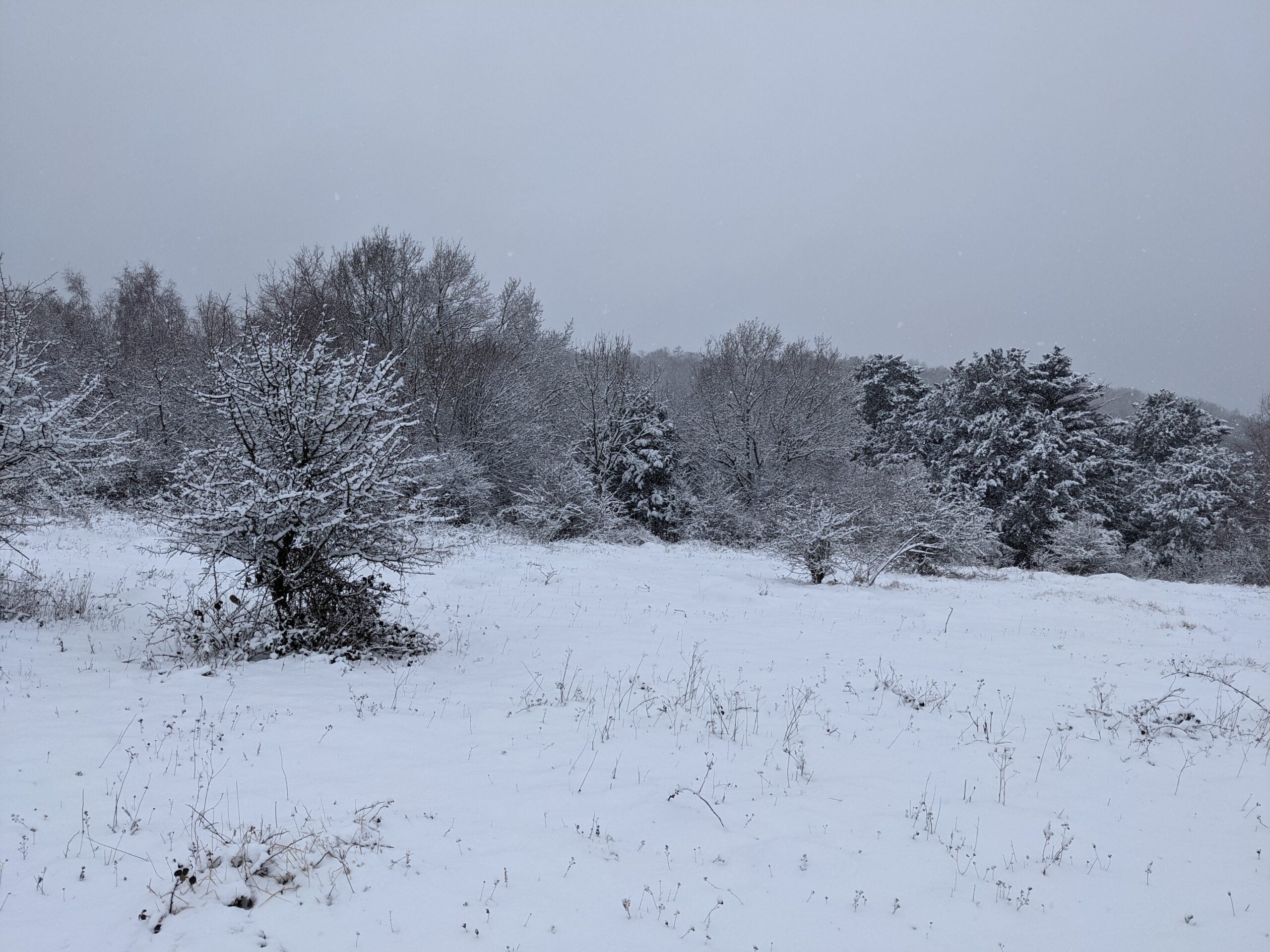
As you descend Juniper Top (something that required a shuffling technique to avoid slipping), you’re faced with Juniper Hill. By this point, you’ve walked about 8km, so the last thing you need is one of the steepest, longest set of stairs I’ve ever seen.

Topping out at a ridiculous 29% incline, this stretch alone is enough to warrant the route’s ‘very hard’ rating. With snow and ice complicating matters, I found myself actually putting my hands on the ground at times just to keep my balance. At the top though, there are few feelings like it.

That white sloping hill you see in the background? That’s Juniper Top, where you’ve just walked from. It’s one of those amazing waypoints where you can directly see how far you’ve come.
The final stretch
Once you’re in Mickleham Downs Forest, you’re effectively heading back to the car. Don’t get too excited though, there are still plenty of climbs and descents ahead, but the toughest is most certainly behind you.
At around the 10km mark, you’re faced with a very tricky downhill section. It’s slippery even without the snow, so take your time and be careful.
After one final climb, you’re back in Headley Heath, walking at an inevitably slower pace than when you left.

Getting started
The walk starts at Headley Heath Car Park, which seems like the best option as it’s very large and accessible. It’s not free though, so be prepared to fork out a few quid for the privilege. If you’re a National Trust member, you’ll be able park for free with a simple swipe at the ticket machine.
You can also choose to join this route by parking at the top of Box Hill. I personally wouldn’t recommend it, but it’s an option if you’re interested in spending some time up there afterwards. If you’re really brave, there’s a third parking option. Whitehill Car Park is right at the bottom of those steep stairs. On one hand, you can tackle them when you’re fresh. On the other hand, it’s a bit of a baptism of fire!
Spread the word
The purpose of Surrey Walks is all about getting more people outside and enjoying the natural beauty of Surrey. With restrictions still in place across the UK, going for a walk is one of the few things you can actually do.
If you enjoy walking, please consider sharing this route, or this website, with a friend or family member who perhaps doesn’t walk as much. It’s well documented that walking is great for our health and our happiness, so the more people that can experience those benefits, the better.
Stay in the loop
To a receive a monthly round-up of the best walking routes, tips and challenges, enter your email below and join the growing club of Surrey walkers.




Good route – I did something similar late Autumn and I would agree .. it’s hard. At the top of your map you correctly identify that 0.5 stretch as being a slippery downhill. If you take the 0.3 route just to the west, it’s easier – both up and down.
Thanks James. I’d love to repeat this walk in Autumn. While the snow was incredible, they did slightly cloud the amazing views that can be seen on a clear day. Really good suggestion about the slight tweak to avoid the tricky downhill section. That’s definitely something I’ll try out for next time.