
At a glance
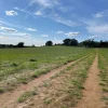
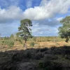
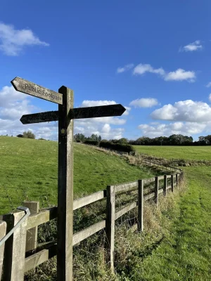
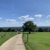
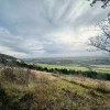
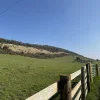
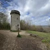
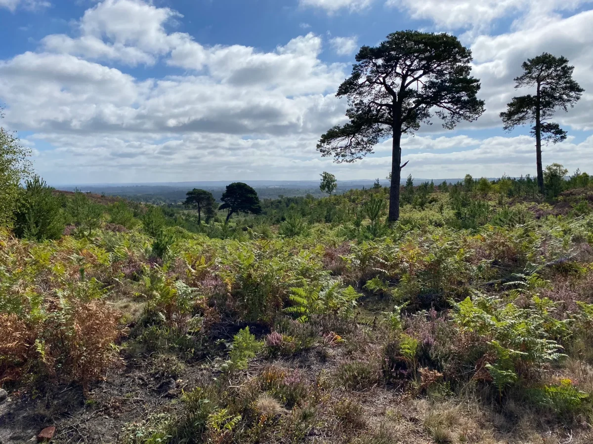
A relatively short 6km walk that starts from Ash Vale station and takes in the hills of the military ranges. Despite being restricted to certain times, this route is worth trying for the interesting and varied viewpoints and scenery.
| Difficulty | Easy |
| Length | 6 km / 3.7 miles |
| Time taken | 1 hours 15 mins |
| Elevation | One incline – not too bad |
| Dog Friendly? | Must be kept on a lead |
Stay in the loop
Want to find more walks like this? Join the Surrey Walks mailing list to receive the latest routes!
Route map & free download
Download the route file below to import it to your preferred app (we recommend OS Maps. A step by step guide can be found here).
Easy Method – Use OS Maps:
I strongly recommend using OS Maps. It’s free to create an account and you get access to the most detailed maps you can find.
- Download the OS Maps app or create an account (desktop).
- Open the walk using the link below.
3. Bookmark the walk to easily find it when you’re heading off.
Premium members can download the map for offline use. If you don’t have a premium subscription, we’d recommend getting one. The annual plan works out at great value. Click the image below to get started.

Note: this is an affiliate link, meaning at no extra cost to you, we’ll get a small commission on any subscription you purchase, so you’ll also be supporting Surrey Walks.
Getting started
This route starts and ends at Ash Vale Station Car Park, which is a reasonable size and is pay and display. You can find pricing information by clicking here.
Things to know
- This walk takes place in a military area. You’ll need to check the training schedule to ensure it will be open to the public during your visit.
- You can look at the schedule here.
- You must adhere to all red flags and flashing lights and avoid entering the area at that time, regardless of the timings.
- It’s really easy to extend this walk as there are plenty of paths you can explore.