
At a glance
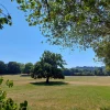
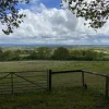
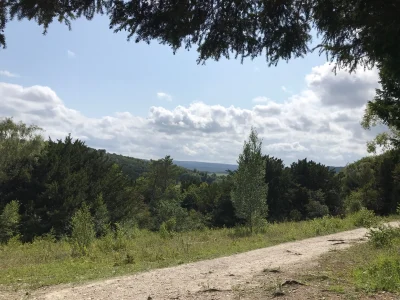
A short 5.8km circular walk starting from South Nutfield and exploring the nearby farmland. While dogs may need to be kept on a lead due to sheep, this short walk offers some pleasant scenery for very minimal effort.
| Difficulty | Easy |
| Length | 5.8 km / 3.6 miles |
| Time taken | 1 hour 10 mins |
| Elevation | Mostly flat |
| Dog Friendly? | On a lead due to sheep in the fields. |
Stay in the loop
Want to find more walks like this? Join the Surrey Walks mailing list to receive the latest routes!
Route map & free download
Easy Method – Use OS Maps:
I strongly recommend using OS Maps. It’s free to create an account and you get access to the most detailed maps you can find.
- Download the OS Maps app or create an account (desktop).
- Open the walk using the link below.
3. Bookmark the walk to easily find it when you’re heading off.
Getting started
This route actually starts at Nutfield Church Primary School, but I don’t fancy your chances of being able to park there! The surrounding roads are residential with plenty of street parking so you’ll probably find a space. If you’re really struggling, I’d suggest making use of the few spots near Nutfield station, although I expect they’ll fill up quickly.
From here, it’s just a short walk north to join the route.
Things to know
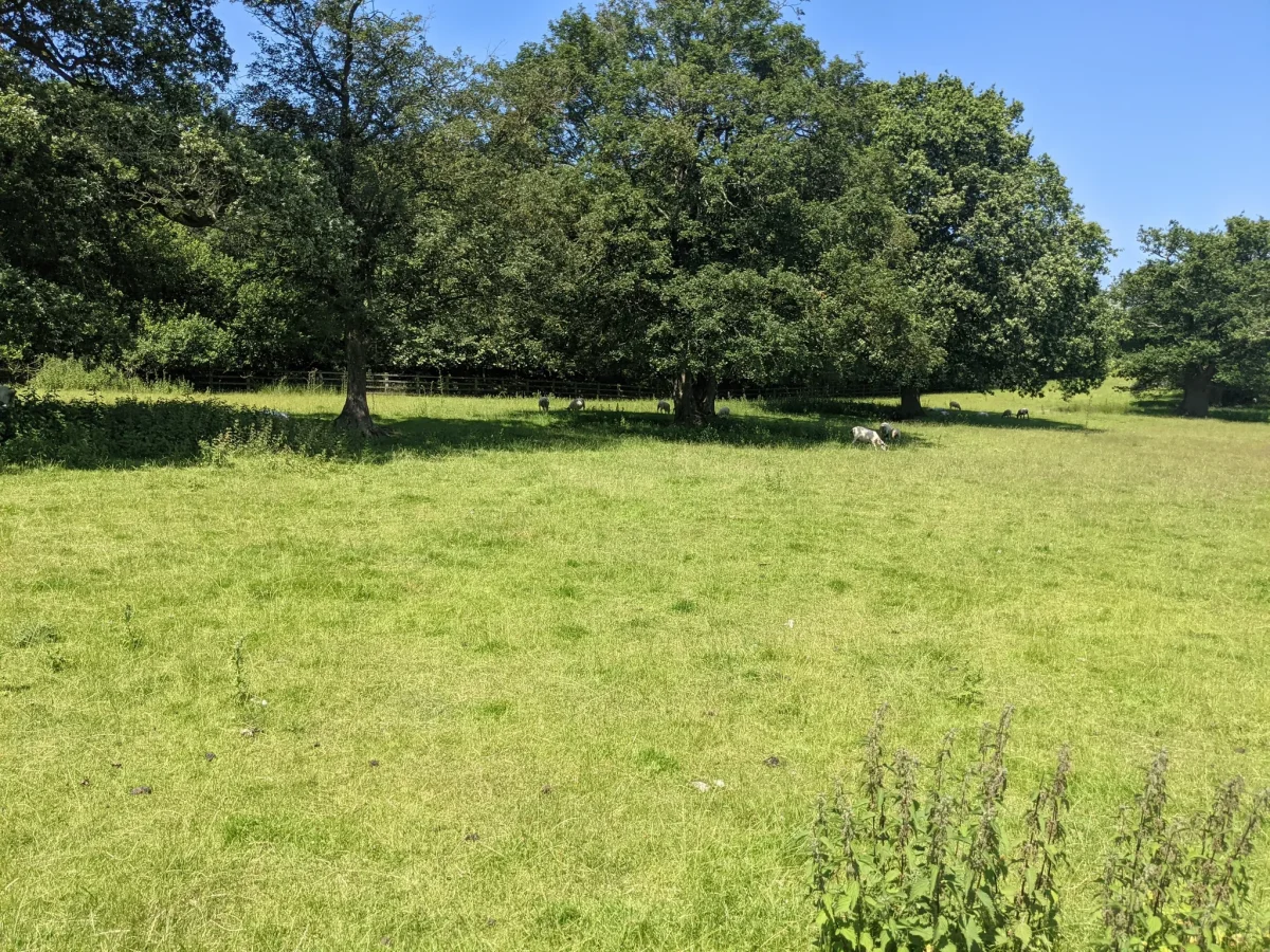
- You’ll need to keep dogs on a lead as sheep will likely be grazing in the fields.
- There are a few stairs that you’ll need to climb to go over the train tracks.
- This route is very close to (and actually crosses) the M23. You’ll probably hear a bit of traffic noise for most of the walk.