

At a glance
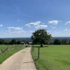
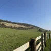
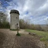
A brilliant long walk starting at Frensham Little Pond and taking in both Frensham and Hankley Common. The mixture of woodland and heathland scenery, combined with stunning views from Kettlebury Hill, makes this an excellent route for the keen walker.
Jump to:
- Route map & overview
- Setting off
- Hankley Common views
- Final straight
- Travel & parking information
- Share & subscribe
- Review & final scores
Route map & overview
Download the route file below to import it to your preferred app (a step by step guide can be found here).
| Difficulty | Moderate |
| Length | 12.2 km / 7.6 miles |
| Time taken | 2 hours 28 minutes |
| Elevation | Mostly flat, one or two manageable climbs |
| Dog Friendly? | Yes, although there are a couple of road crossings |
Setting off
Starting at the National Trust car park for Frensham Little Pond, this walk delivers some instant gratification with some brilliant scenery. Within minutes of leaving the car, you’re right on the perimeter of the pond, looking out over it’s tranquil beauty against a calming woodland backdrop.

Even in the cloudiest of conditions, the pond is truly a sight to behold. Being man-made and nearly 800 years old, it’s impossible not to get at least slightly caught up in the sheer magnitude of human endeavour.
Upon deviating from the pond perimeter, you follow a short stretch between fences before darting off into some entrancing pine woodland. If you’ve seen the routes around Francis Corner or Horsell Common, you’ll know how much I adore this type of scenery, and the woodland here was right up there with those places.

The first thing to highlight here was the brilliant terrain. Even after a few days of rainfall, the paths were mainly a sandy ash surface, compacting when wet rather than creating mud. This was a trend that remained for pretty much the entirety of the walk. For a route of this length to be almost entirely dry in Winter is really quite unique.

The second thing to point out are the vivid colours that you’ll find here. The moss really radiates from the surrounding brown tones of the woodland, and it’s genuinely a pleasure to walk past.
Heathland & Hankley Common views
Shortly after leaving the woodland, you’ll enter an area known as The Flashes, a stunning heathland landscape that provides a healthy dose of variety for this route.

As you walk towards Hankley Common, you’ll actually be pretty close to the town of Rushmoor, although you’d never tell. The horizon is lined with trees in whichever direction you look, and you could quite as easily be wandering in the Scottish Highlands than the Surrey countryside.

At one point, I stopped on a path to watch two deer gracefully hop though the undergrowth. It was like something out of a Disney movie.
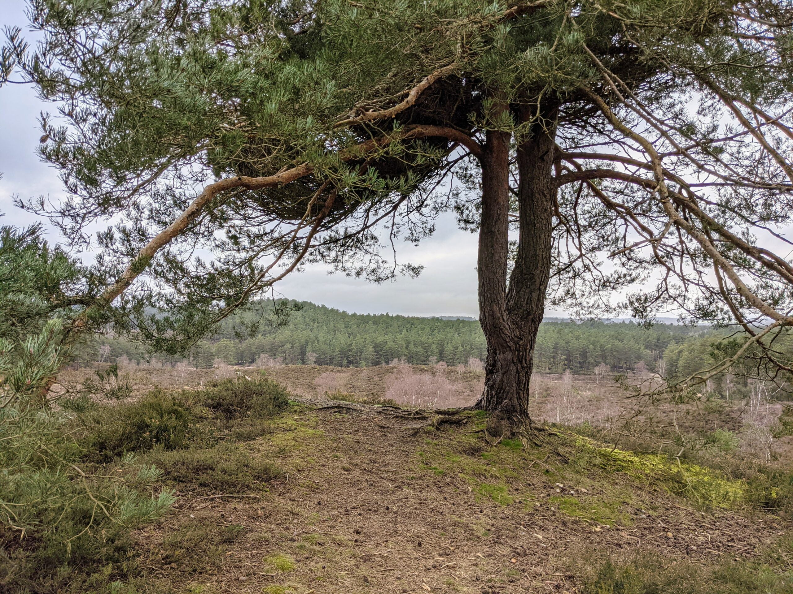
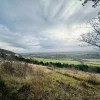
Eventually, you’ll face a relatively steep but short climb to the crest of Kettlebury Hill. This is a fantastic stretch of the walk, with incredible views of Hankley Common and Thursley Nature Reserve over to your right.

The fact that you’re actually somewhere in Surrey becomes a pretty abstract thought at this point. The far reaching views are unlike most other viewpoints in the county, and in a very real way you’re transported to an entirely different place.
The finish
After navigating a couple of tricky crossroads, you’ll make your way through Hankley Common Golf Club. From there, it really is just a case of crossing a road and heading past Tilford Common before you’re on a straight path back to the car.
A word of warning, there was a bit of the path near the end that was flooded and needed some careful traversing, but it was certainly manageable.
Perhaps the best part of this route is that, if you set off early enough, you get back to the pond just in time for lunch, and I couldn’t think of anywhere better to enjoy it.
Getting started
This walk starts at the National Trust Frensham Little Pond car park. It does come at a cost (unless you’re a National Trust member), but it’s worth it. The car park is easy to access, perfectly located to start the walk, and pretty sizeable. However, it still fills up very quickly, so arrive early just to be on the safe side.
Spread the word
The purpose of Surrey Walks is all about getting more people outside and enjoying the natural beauty of Surrey. With restrictions still in place across the UK, going for a walk is one of the few things you can actually do.
If you enjoy walking, please consider sharing this route, or this website, with a friend or family member who perhaps doesn’t walk as much. It’s well documented that walking is great for our health and our happiness, so the more people that can experience those benefits, the better.
Stay in the loop
To stay updated with the best walking routes, tips and challenges, enter your email below and join the growing club of Surrey walkers.


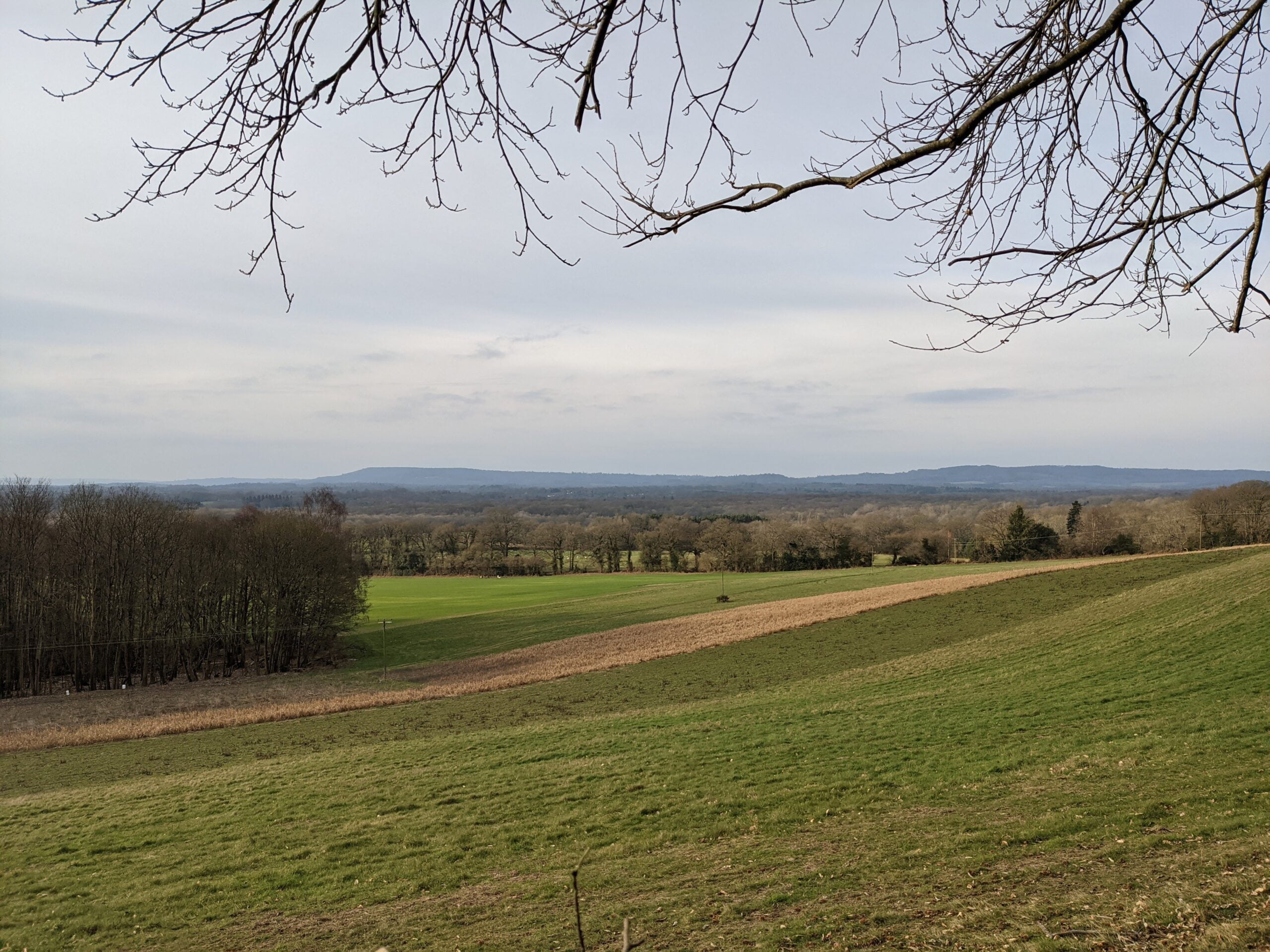

Did this walk today, it was brilliant! I went with my partner and took the dog. A few things to note; The car park was easy enough to find and not busy with a lot of spaces when we got there, although when we finished it was VERY busy so would reccomend arriving as early as possible, and most importantly we would reccomend going when it hasn’t been raining since the end of the route was EXTREMELY FLOODED and required some tricky traversing of the woodland which would not be suitable for some less able walkers!
The ‘Setting off’ portion of the walk around the lake was lovely and is mostly dog friendly, although a few moments where a more adventurous dog like ours was best put on lead since there were some private plots of land with horses, although most of it was well fenced. There is a turn here to be aware of, with quite a few options, I was using a gps watch which was hard to tell exactly which to take, initially we took the wrong one and had some houses on our left on a tire track road. You want to take the turn before that through the trees. A little way down this path you will come to a road which you will follow for a short while before peeling off left along a path alongside a house. If you keep making your way down you will get to the left turn downhill which you follow the road for little while, there is a left turn as you’re ascending between a couple of houses which has a sign, although easy to miss so keep an eye out.
Following this takes us into the Heathland, which was genuinly beautiful. It was very open and great for pictures. The path is easy to follow and shouldn’t have any trouble navigating here. At the end of this section you will come across your first climb, although this one isn’t too steep, after which you will descend down to the road. Turn left down the road and follow it down a short distance. There is a sign for private fishing, but just next to it to the left there is a path which will take you into and back up and dip. Turning left and following along you will come to a crossing where there are a few different ways to go. You want to go up and to the right, this climb a little longer, before heading back down which takes you into what we think is part of Hankley common. You will follow a sandy path, and this next climb being the longest and most difficult, although you will find it isn’t too steep apart from right at the end. Once you’re at the top this is where you can find the best veiws on the walk! The next stint is a few km and quite open towards the end, but again, the views here are amazing! Once at the end of the ridge you will take a left where again there are a few paths to take. You want the one second from the right, not the sandy climb, which is marked which an arrow. You will know it’s the right one since it will take you through the golf course!
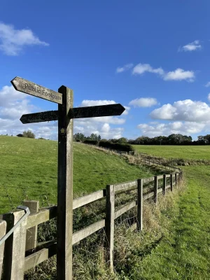
Once you make it through the other side you will filter down the road past the course cark park and up to a pub and a junction. The path is 20 yards up the road to the right, there is a sign saying ‘Public Bridleway’ but hard to see since it looks like a private drive for the houses there, but follow this to the top. The next part you will be walking along some fencing which you can follow round for a k or two. You will come up to a road, which was very flooded, and quite boggy, which is mentioned in the original post. You will follow this for another 2k which will take you back towards the starting car park. Important to note, towards the end of this road it was EXTREMELY flooded. My partner had waterproof boots so went through, but the water was deep enough to come half way up her shins. I took the dog through the woodland which was tricky to get through and still very boggy, and had to jump a stream, so I would reccomend going when there hasn’t been much rain.
This brings us to the end of the walk, which was brilliant so thank you for putting it together, we thoroughly enjoyed and will certainly be going again in the future!
Hi Jim,
Glad you enjoyed it! Great note about the flooding too. Definitely have to be careful in this area!